Drone Operation And
Industry Applications
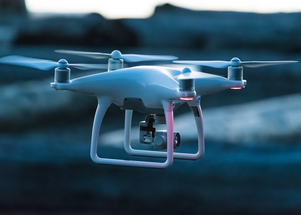
Our drone services support industries with smart and practical UAV technology, helping improve accuracy, reduce costs, and boost productivity. From agriculture to infrastructure, we offer customized drone solutions to meet real-world needs.

Aerial Surveying
& Mapping
We use drones with high-resolution cameras and LiDAR to capture detailed maps and data. These services support construction, land development, and environmental projects by providing 3D models, topographic maps, and aerial imagery—faster and more efficiently than traditional methods.
Enquire now
Aricultural Drone
Solutions
Our drones help farmers monitor crop health, spray fertilizers and pesticides, and analyze yield performance. With tools like multispectral imaging and automated flight paths, farmers can make better decisions, use fewer resources, and improve overall output.
Enquire now
Industrial Inspection
& Monitoring
For sectors like energy, mining, and infrastructure, our drones offer a safe way to inspect hard-to-reach areas. We provide real-time visuals and data to assess pipelines, towers, rooftops, and more—reducing risk, saving time, and helping ensure safety and compliance.
Enquire nowReady To Take Off?
Apply now and kickstart your journey into the future of technology.